FracaFlow, the best solution for fractured reservoirs
FracaFlow
FracaFlow is the most advanced software for characterization, modeling and calibration of naturally fractured reservoirs.
Applicable in various contexts: Oil & Gas, Geothermal, or CO2 storage.
It provides in a unique package all the necessary tools to assess fractured reservoirs, from secondary porosity estimation to permeability computation. It allows geologists and reservoir engineers to pragmatically understand the impact of fractures and their associated uncertainties.

Main features
A solution validated and used everyday on real cases

Analysis
Unrivaled toolset for analysis and characterization of geologic data, both at wells and at field scale, from various origins (interpreted imagery, well logs, fault network, stress data, horizons…).

Modeling
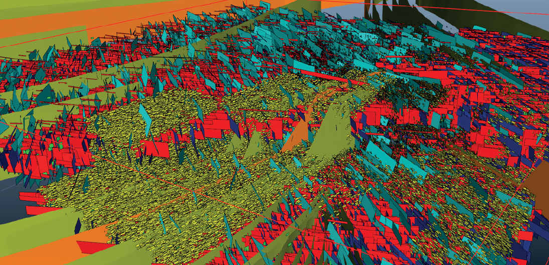
Most precise multi-scale fracture network modeling, combining diffuse fractures (stratabound, non-stratabound) and faults (deterministic, stochastic).

Calibration
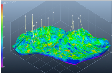
A multi-well dynamic calibration using an assisted optimization process, based on KH to assess the conductivity and aperture of the fractures.

Upscaling
3 options for 3 contexts: Analytical upscaling (Oda) for well connected networks, Numerical upscaling for low-connected networks, and Mixed upscaling (appropriated method in each cell, depending on connectivity).

0
years of innovation

0
projects

0
countries

0
clients
Use cases
Worklows adapted to various contexts

Complex systems
Complex system of interconnected solution vugs and natural fractures in Cretaceous rocks (offshore Mexico).

Carbonates
Post-salt Albian carbonates (offshore Brazil). Generation of multiple models to take into account uncertainties.

Basement
Modeling of fractures in fresh and weathered basement (North-African oil field).
Adapted workflows for Geothermal and CCS projects
FracaFlow’s workflows can also be used to model fracture networks in geothermal contexts.
With easy ways to define damage zones in fault proximity.
With definition of fracture families and their associated parameters (orientation, aperture, conductivity, density) per stratigraphic unit.
With assessment of the most suitable spot to implement geothermal doublets.

